Kapanlagi.com - How to view Google Maps with Street View can be used to see location images from old to the latest time. Moreover, accessing Google Maps Street View can apparently be done using a mobile phone and laptop.
The ease of exploring locations can now be done with Google Maps. Google Maps provides services to its users to be able to find, explore, or navigate places quickly and easily.
Moreover, its features are very complete with various options that can be used by users. Like Google Maps Street View, it can be accessed to see the street situation as it is. The popular term can be called exploring locations virtually.
So, how to view Google Maps with Street View? If you want to try it, first learn how to view Google Maps with Street View in the review below. Here's how to view Google Maps with Street View that has been summarized by kapanlagi.com from various sources.
1. Getting to Know Google Maps Street View
(credit: unsplash.com)
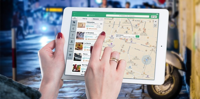
Google Maps is a service provided by Google. Through Google Maps, anyone can easily explore locations. In addition, with Google Maps, it can help find places using the features provided. There are various complete features that can be accessed by users on Google Maps.
One of them is Street View on Google Maps. As the name suggests, Street View on Google Maps is used to view locations as they are in reality. This means you can explore the location as if you were visiting it virtually. The presence of Street View on Google Maps helps users see places all over the world.
For example, if you want to visit a museum in Rome, Italy, see historical places, or see a specific location with Google Maps Street View. For some users, this feature may already be familiar. Street View displays a 360-degree view of street locations.
That's why when you use the Google Maps Street View feature, it feels like you are virtually exploring it. The displayed images can come from Google, which takes pictures of the streets over time, or from users who contribute. It is also known that in Google Street View, only portraits of street locations, houses, or specific places are visible. That's why when someone is captured by Google Street View, their face and license plate will be blurred.
What's interesting is that you can also see a place even if it has been a long time. However, in Google Maps Street View, the time is limited. In addition, you can access how to view Google Maps with Street View through mobile devices and laptops. That's about Google Maps Street View that needs to be known.
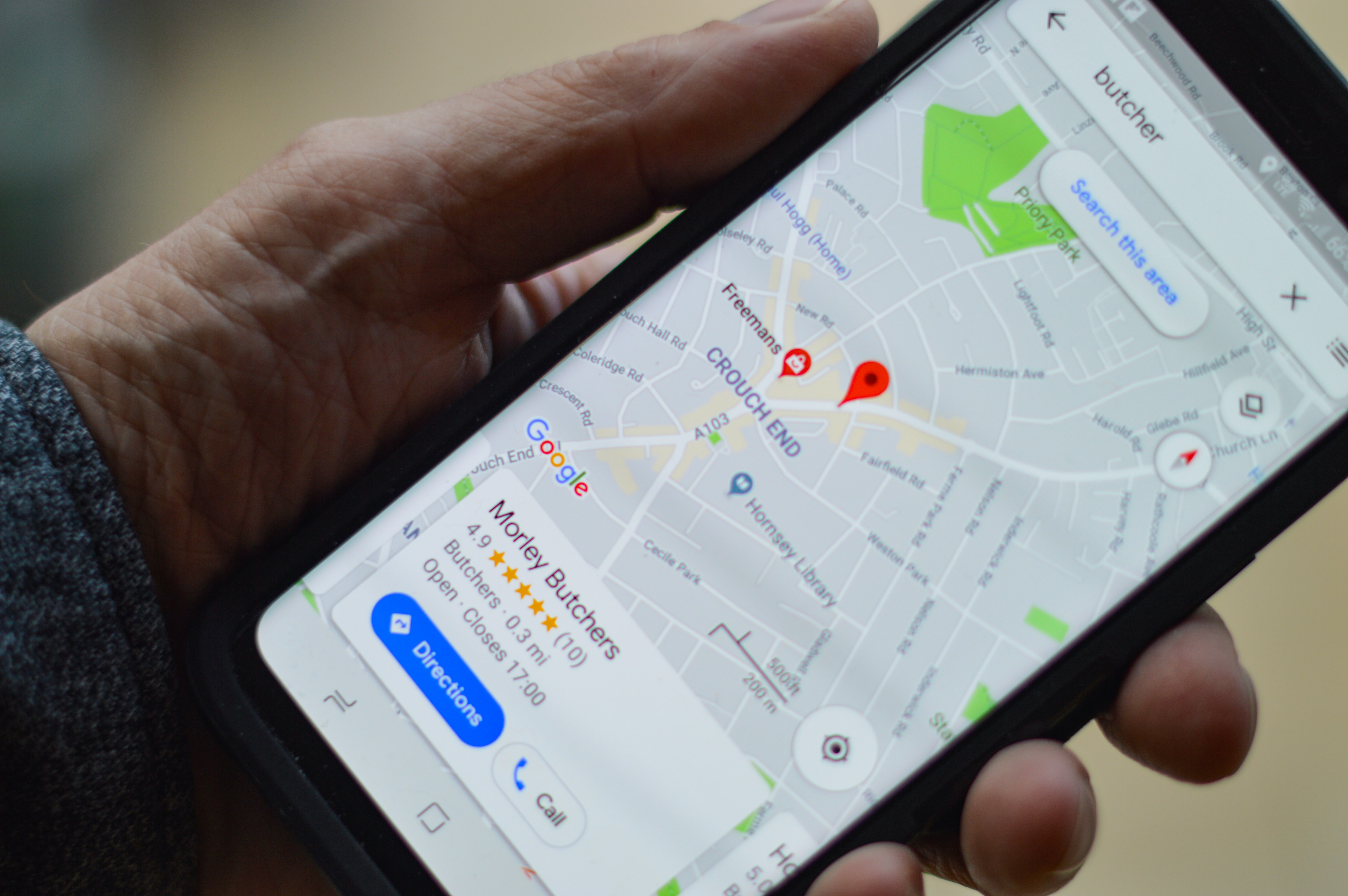
2. The Function of Google Maps Street View
(credit: pixabay.com)
However, the various features provided by Google Maps have their own functions. Where each feature in Google Maps has its own function or purpose. Like the Street View feature, there are functions that need to be known. Among the functions of Google Maps Street View that you can learn about are as follows.
1. Through Google Maps Street View, users can easily view locations. Thus, they can have an idea of every detail of the streets they will visit.
2. It can be used to display business locations and build business credibility. By doing so, it can convince customers.
3. Through Google Maps Street View, it can be used as a consideration for visiting a place or building a business location.
4. It can be used as a cost-effective marketing tool.
Those are some of the functions of Google Maps Street View that need to be known. So, they can be used as a reference for accessing it.
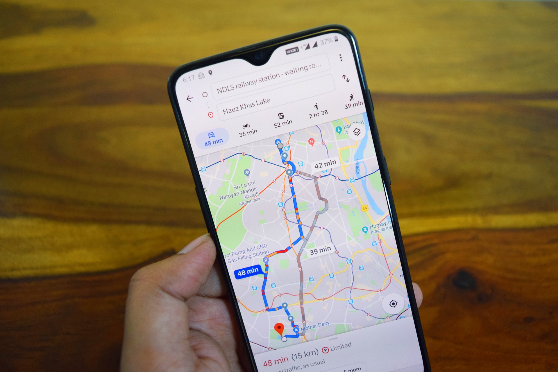
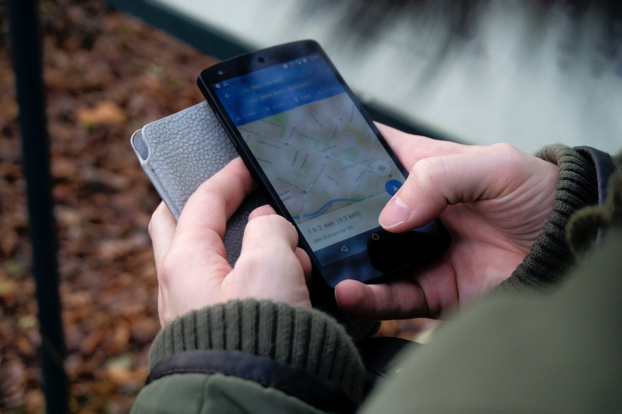
3. How to View Google Maps Using Street View on Mobile
(credit: unsplash.com)
After knowing and understanding about Google Street View, you may wonder how to view Google Maps with Street View. It's not complicated, viewing Google Maps with Street View is quite practical and even fast. Moreover, you can access it through your mobile phone. That's why below is a review of how to view Google Maps with Street View on mobile.
- First, you can open the Google Maps app.
- Second, choose the location point you want to visit.
- Third, when you click on that location point, an information display about the place you will visit will appear.
- Fourth, you can directly see the Street View thumbnail in the bottom corner.
- Fifth, you can click on the Google Maps Street View icon to explore the place you will visit.
- Direct the arrow that appears on the road, then you can see the surrounding location. Besides, you can also adjust the Google Street View display as desired.
- Done.
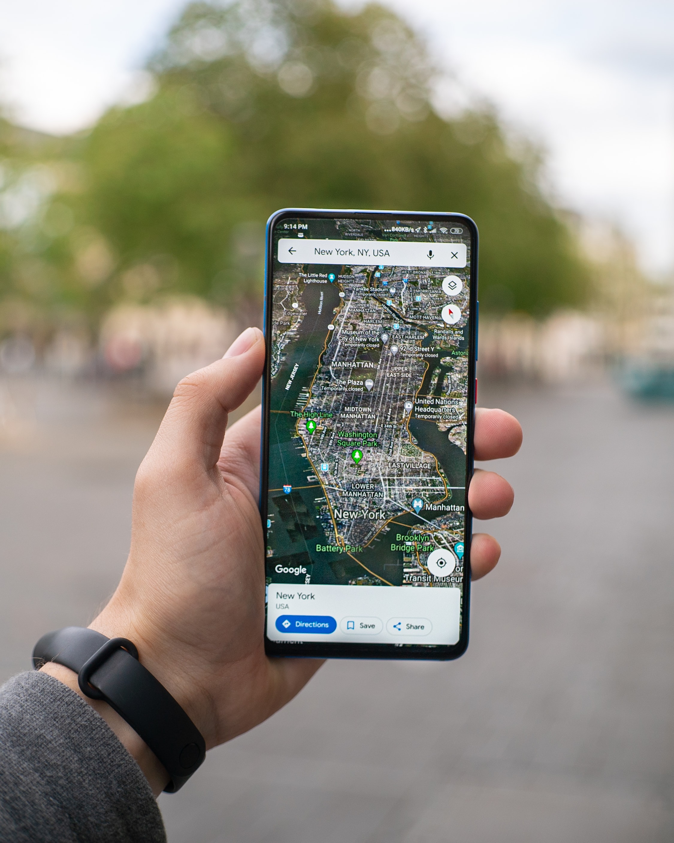
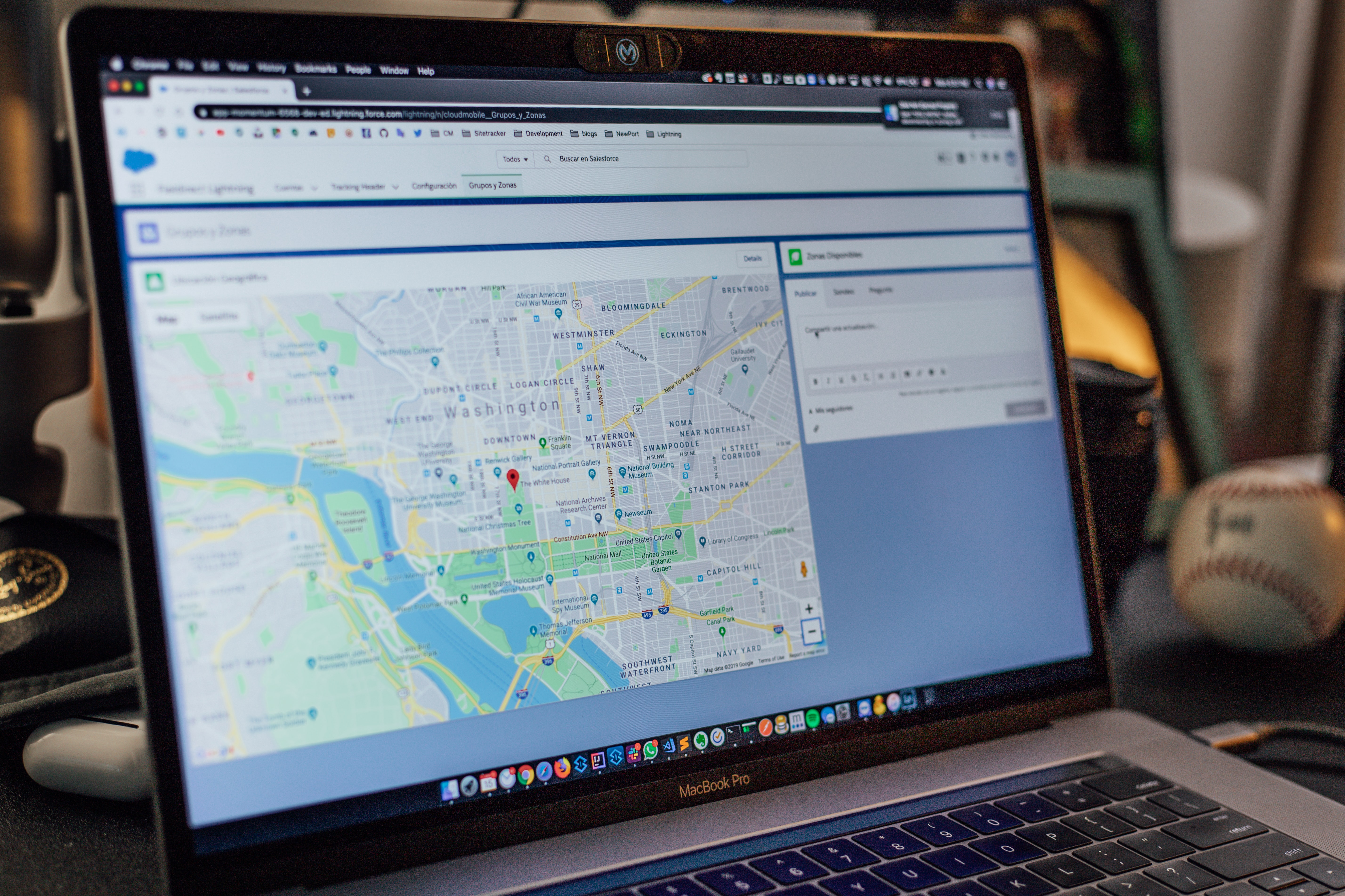
4. How to View Google Maps Using Street View on a Laptop
(credit: unsplash.com)
The next way to view Google Maps with Street View can be accessed using a laptop. Equally easy and practical, viewing Google Maps with Street View on a laptop can be your choice to know the location in detail. Here are the steps to view Google Maps with Street View:
- First, open a browser on your laptop and visit the Google Maps website.
- Second, determine the location point you want to visit.
- Third, when you click on that location point, information about the place to be visited will appear.
- Fourth, you can click on the location photo that appears in the information section.
- Fifth, you can click on the Google Maps Street View icon located at the bottom left.
- Sixth, point the arrow that appears on the road, then you can see the surrounding location. You can also move it according to your wishes.
- Done.
5. How to View Google Maps Street View Old and New
(credit: pexels.com)
Not only can you use it to see Google Maps with Street View in the current location, it turns out you can also see the view of certain locations from previous years. Yes, as known, this feature is now so popular on social media. Where you can see images of certain locations from previous years. However, in Google Maps, only a few years can be seen. As a reference, here are the steps to view Google Maps with old and new Street View.
- The first step is to open a browser on your laptop.
- Visit the Google Maps website.
- Determine the location point you want to visit.
- Click on the location point and an information view about the place to be visited will appear.
- Click on the location photo that has appeared in the information section.
- Click on the Google Maps Street View icon located at the bottom left.
- Then you can see Street View on Google Maps.
- Click on the clock icon at the top.
- Then the year information will appear.
- Slide the round icon that displays the year to the right for older times and to the left for the present time.
- After that, click on the year information.
- Automatically, Google Maps Street View will display images of the location year that you have clicked.
- Done.
Those are some steps to view Google Maps with Street View. Hopefully, it can make it easier for you to access locations on Google Maps.
(kpl/gen/nlw)
Disclaimer: This translation from Bahasa Indonesia to English has been generated by Artificial Intelligence.